The Best Waterfall Photo Spots around Improvement District No. 9 in Canada
Explore Waterfall pictures of Improvement District No. 9 with the travel spots on a map
Download the Travel Map of Canada on Google Maps here
9 Waterfall Spots of Improvement District No. 9 on a Map
Pictures of Waterfall on the interacive map of Improvement District No. 9
Download On Google Maps 🗺️📲Waterfall Spots and Pictures around Improvement District No. 9
Discover popular destinations in Improvement District No. 9 with their travel guides
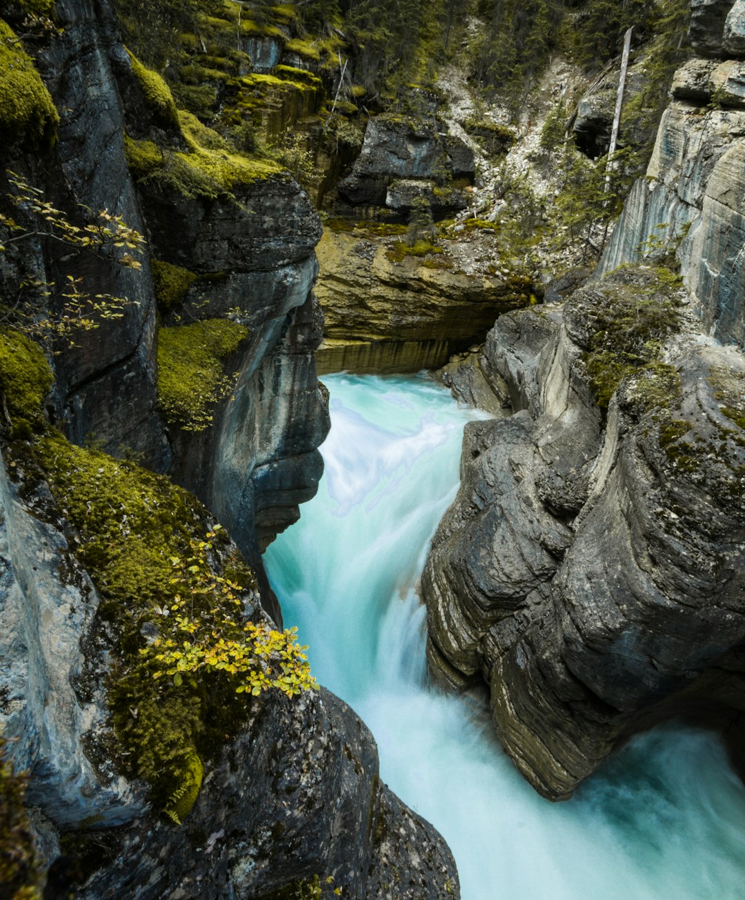
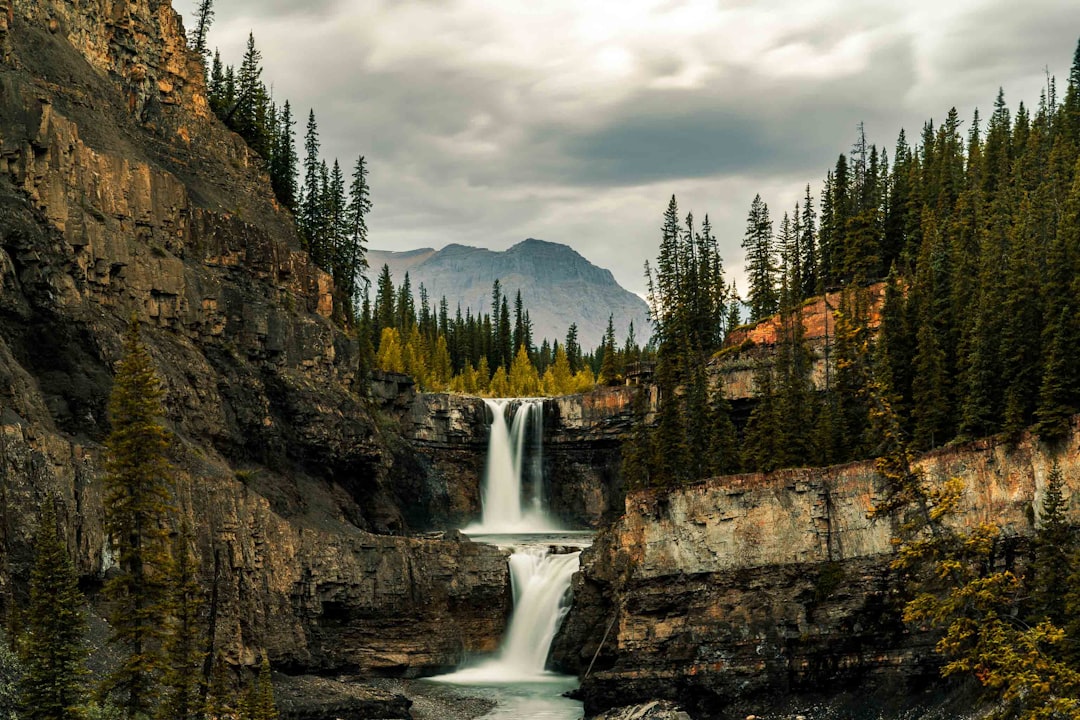
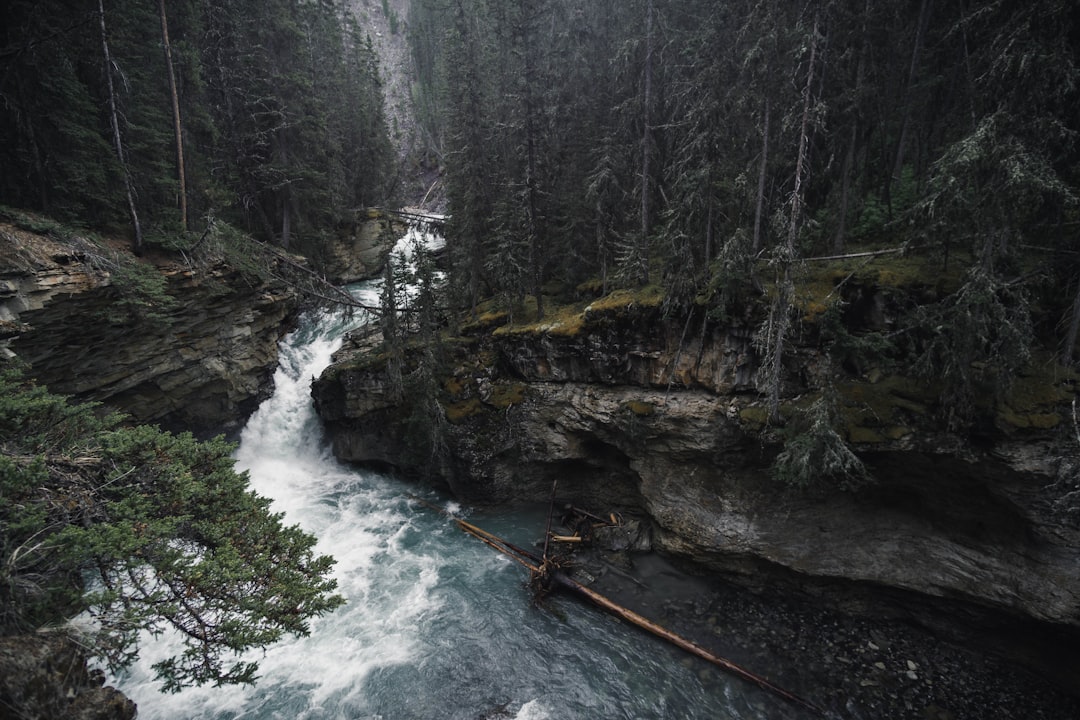
Mistaya Canyon
Read the Travel guide View on Google Maps
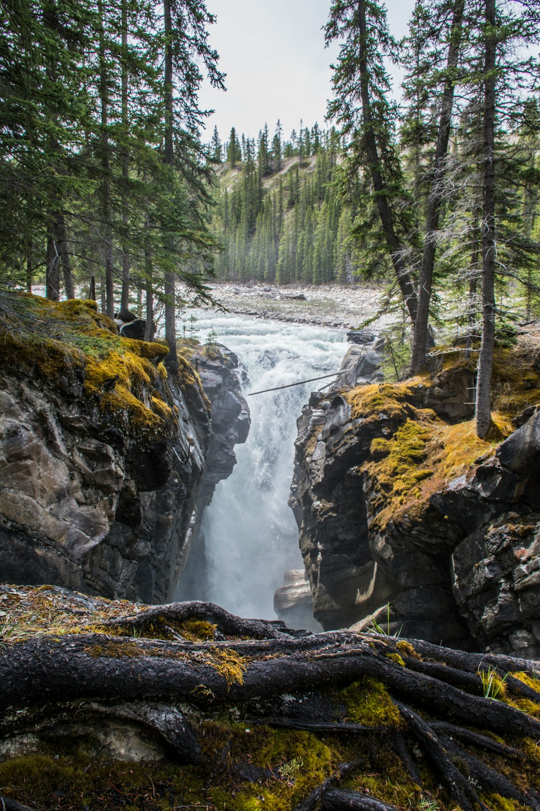
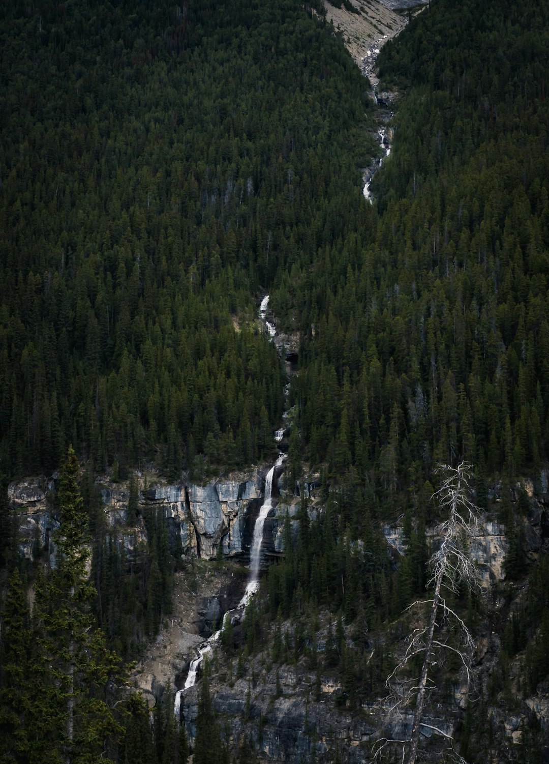
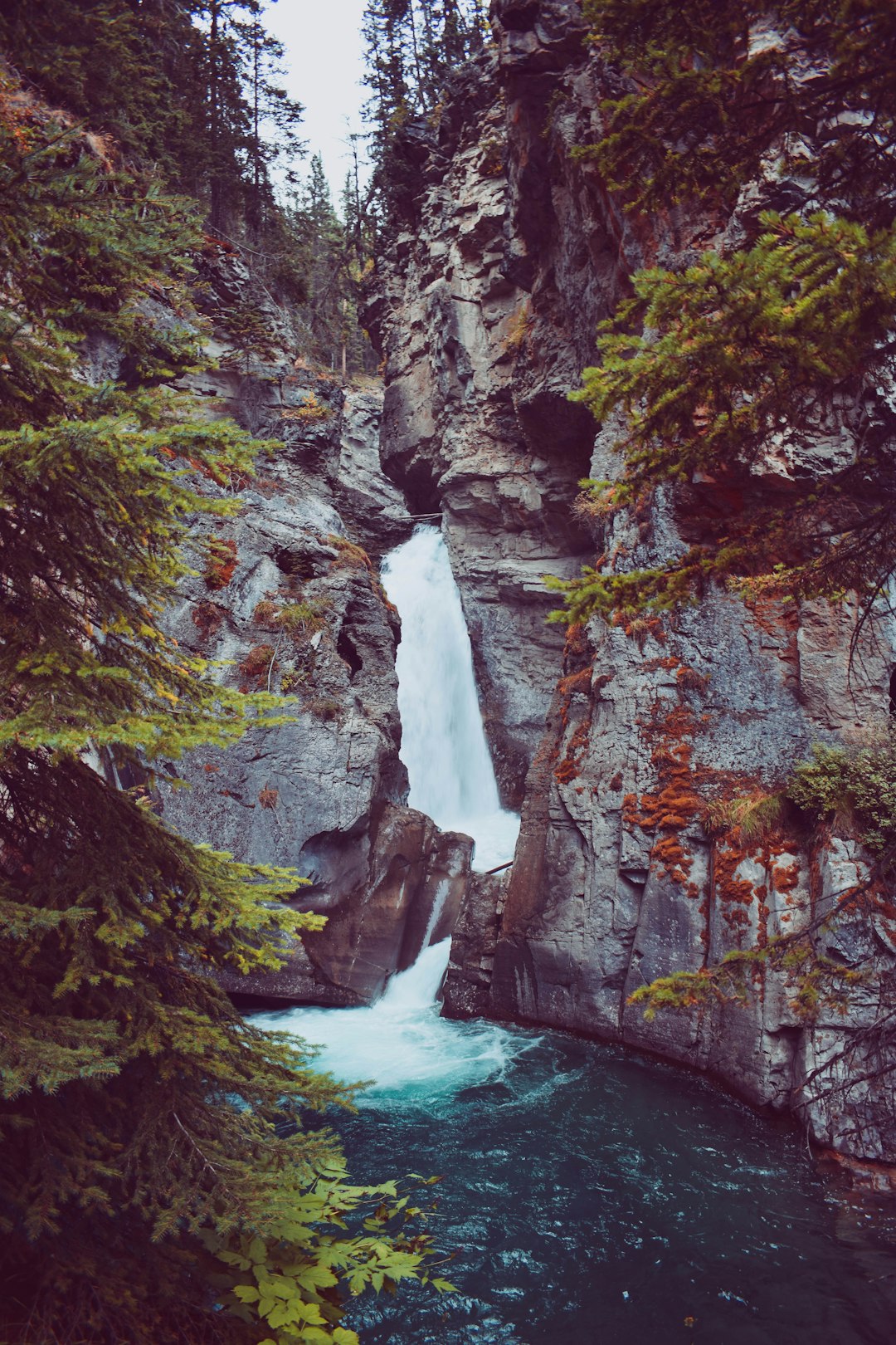
Siffleur Falls
26 km away from Improvement District No. 9
Read the Travel guide View on Google Maps
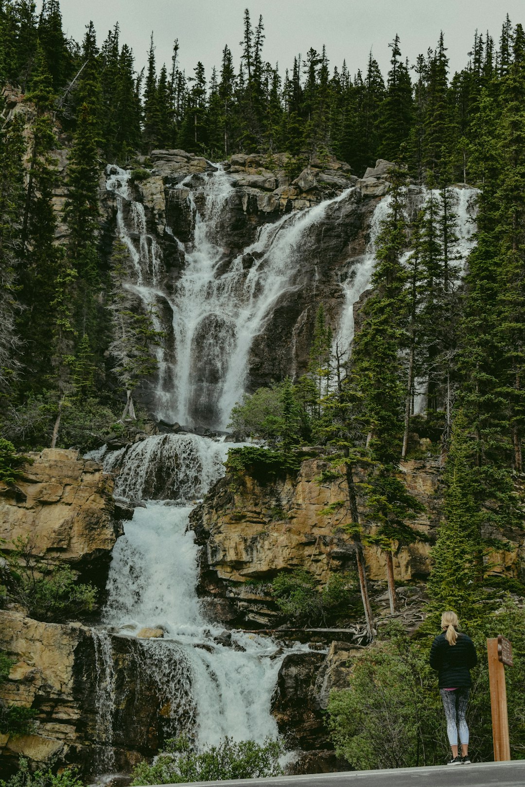
Icefields Parkway
35 km away from Improvement District No. 9
Read the Travel guide View on Google Maps
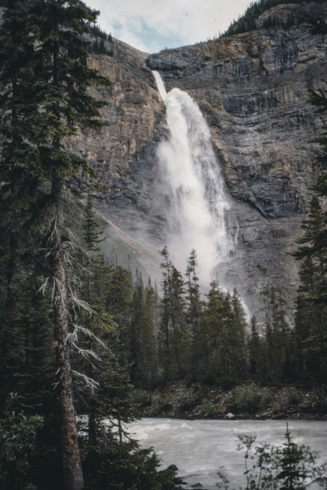
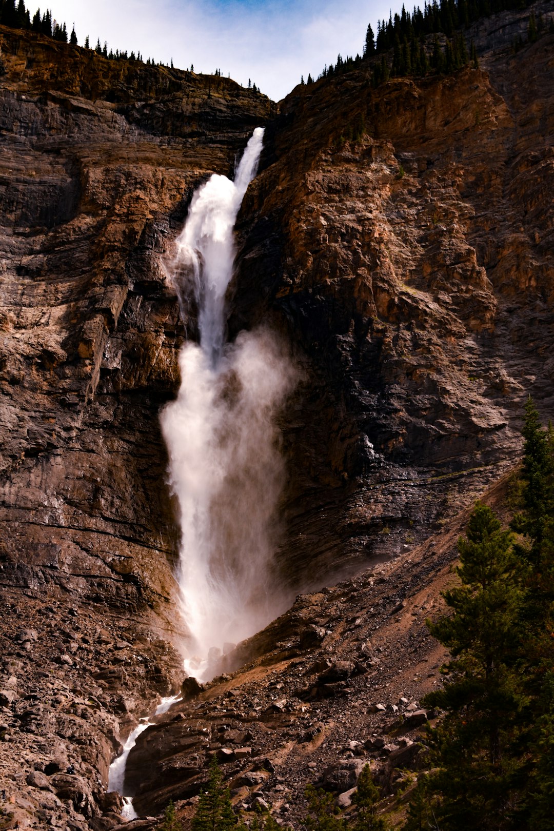
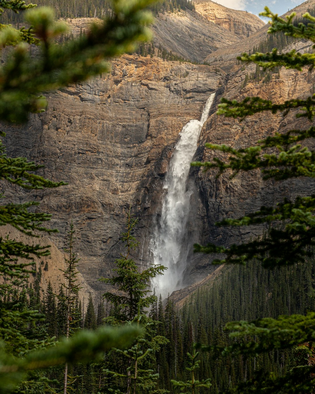
Takakkaw Falls
52 km away from Improvement District No. 9
Read the Travel guide View on Google Maps
Yoho National Park
54 km away from Improvement District No. 9
Read the Travel guide View on Google Maps
Crescent Falls
55 km away from Improvement District No. 9
Read the Travel guide View on Google Maps
Upper Spiral Tunnel
61 km away from Improvement District No. 9
Read the Travel guide View on Google Maps
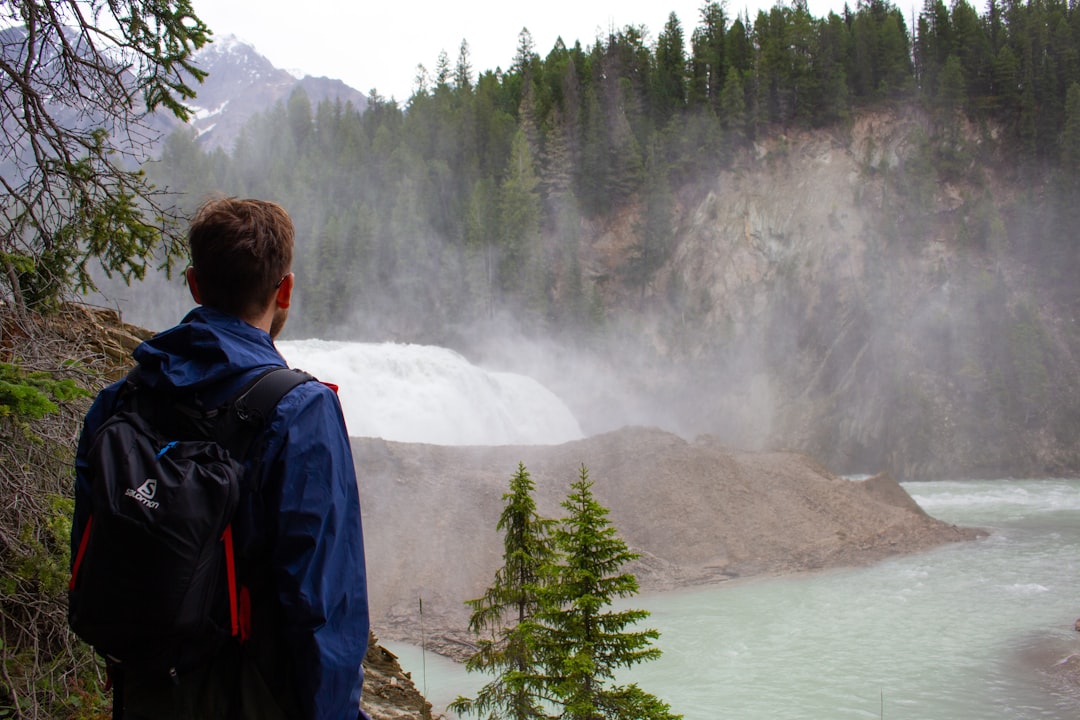
Wapta Falls
85 km away from Improvement District No. 9
Read the Travel guide View on Google Maps
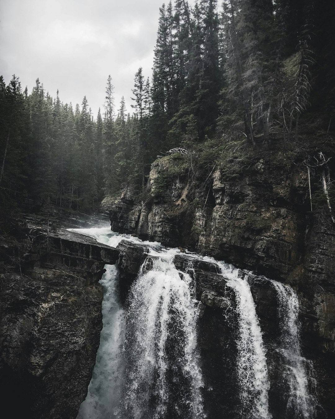
Johnston Canyon
97 km away from Improvement District No. 9
Read the Travel guide View on Google Maps

Book your Travel Experience in Improvement District No. 9
Discover the best tours and activities in Improvement District No. 9 and book your travel experience today with our booking partners
Learn More about Improvement District No. 9
Find Hotels in Improvement District No. 9
Discover the best hotels around Improvement District No. 9, Canada and book your stay today with our booking partner booking.com